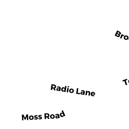
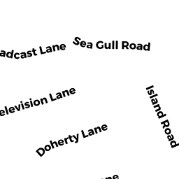
17 BROADCAST LN
Owner Information
SIGNOR MICHAEL R
28 HILANDER DR
LOUDONVILLE, NY 12211


Property Details
17 BROADCAST LN is classified as a Single Family Residential (Cape cod).
The primary structure on this property was built in 1999. There are 2684ft2 of built area within this property. There is 1421ft2 of residential/living space within this property.
17 BROADCAST LN is valued at 748900. The land is valued at 490200 and the structures are valued at 256600. There is an additional valuation of 2100 on this property.
The most recent deed for 17 BROADCAST LN is recorded at the local registrar in Book D1345037, Page 0. 17 BROADCAST LN was last sold on 2018-04-27 for 565000.
Assessment data from fiscal year 2022.
Flood Data
This property is completely within the AE Zone (within floodplain).
The base flood elevation for this flood zone is 11 feet.
This information is sourced from the FEMA National Flood Hazard Layer. See our full disclamer.
Broadband Internet Providers
| Provider | Type | Bandwidth (mbps) | |
|---|---|---|---|
| HughesNet | Satellite | 25 | 3 |
| GCI Communication Corp. | Satellite | 0 | 0 |
| T-Mobile | Fixed Wireless | 25 | 3 |
| Comcast | Cable | 1000 | 35 |
| Verizon New England Inc. | DSL | 5 | 0 |
| Viasat Inc | Satellite | 35 | 3 |
| VSAT Systems, LLC. | Satellite | 2 | 1 |
Broadband service provider data from December 2020.